Craigowl Hill


class=notpageimage|
Craigowl Hill in Angus.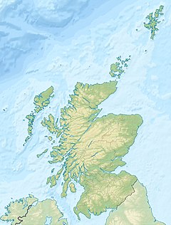
Craigowl Hill
class=notpageimage|
Craigowl Hill in ScotlandCraigowl Hill is a summit towards the eastern end of the Sidlaw Hills in Angus, Scotland. Northeast of Kirkton of Auchterhouse and approximately eight kilometres north of Dundee, Craigowl Hill represents the highest point in the range. It also known for being one of the hardest cycling climbs in Scotland, as a 3.36-kilometre (2 mi 155 yd) climb at 9.4% gradient.
Geodesy
Craigowl Hill was the origin (meridian) of the six-inch-to-the-mile and 1:2500 Ordnance Survey maps of Angus (Forfarshire).[1]
See also
- Wester Denoon
- List of places in Angus
References
- ^ "198 years and 153 meridians, 152 defunct" (PDF). Charlesclosesociety.org. Archived from the original (PDF) on 26 October 2016. Retrieved 10 September 2016.
External links
Wikimedia Commons has media related to Craigowl Hill.
- Computer-generated virtual panoramas Craigowl Hill Index
- Strava segment
56°32′52″N 3°00′59″W / 56.54783°N 3.01652°W / 56.54783; -3.01652
- v
- t
- e


